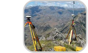
Wadelynn Geospatial, LLC utilizes the latest technology in Global Positioning System (GPS surveying) survey and mapping grade equipment for data collection and surveys. Our GPS equipment acquires positional data from GPS satellites which our surveyors can download and post-process in various mapping software products. The data can then be exported and delivered directly to the client or integrated into Geographical Information System (GIS) software. Our GIS team utilizes this software to compile, map, and analyze GPS data. GPS is a very fast and efficient tool to perform many aspects of surveying.
GPS Surveying
Global Positioning System - GPS Surveys


- SURVEY & MAPPING-GRADE GPS EQUIPMENT
- Topographic Surveys
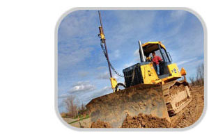
- Stake-less Construction / Machine Control
- Agriculture / Crop Mapping
- Forestry Mapping
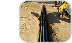
- Utility Mapping
- Hydrographic-Bathymetric Surveys
- Asset Locations / Management
- As-built Locations
- Scientific Study / Station Locations
- Wildlife Location Surveys
- Debris Mapping
- Sedimentation Surveys
- Aquatic Habitat Studies