Solving real world challenges with technology.
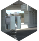
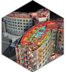
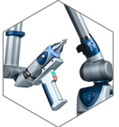
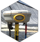
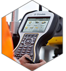
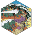
At Wadelynn Geospatial we specialize in 3D Laser Scanning, Underwater Surveys, and 3D Modeling. We offer comprehensive surveys utilizing the most advanced technology available through the process of remote sensing. These tools allow us to acquire information from objects or land forms without having to make physical contact with them. Having worked in nearly every industry we support, we understand the challenges you face and we take pride in the ability to offer solutions utilizing these technologies. Based centrally on the U.S. East Coast, we are positioned to provide nationwide support for construction, design, development, and infrastructure. Wadelynn Geospatial supports clients nationwide and globally.

