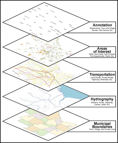
Geographical Information Systems (GIS) provide our clients a spatial framework to support effective management and intelligent decisions about the man-made and natural environments. A comprehensive geographic database, coupled with the query, analysis, and visualization power of GIS software providers invaluable information for the real world problems that you face. Wadelynn Geospatial offers professional geospatial services that are designed by experienced photogrammatrists, cartographers, image processing experts, GIS analysts, and field technicians. Whether its GIS / GPS mapping, creating figure reports, or conducting complex spatial analysis we have the equipment and capacity to support your project.
GIS-Geographical Information System
Geographic Information Systems (GIS)
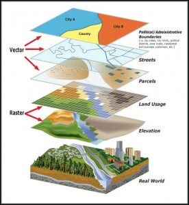
GIS Services
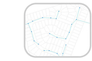
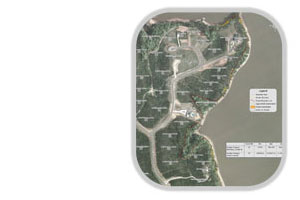
GIS MAPPING & AERIAL IMAGERY
- Asset Location / Mapping
- Utility Inventories
- Land Planning
- As-Built Databases
- Site / Study Plans
- Project Boundaries
- Report Maps
- Flow Direction / Flood Mapping
- Topographic / Contour Mapping
ENVIRONMENTAL GIS
- Threatened & Endangered Species
- Well Monitoring
- Ground Water Contour Mapping
- Water Quality Mapping
- Storm Water Management
- Remediation
- Mitigation
- Geophysical Mapping