Welcome to Wadelynn Geospatial
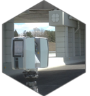
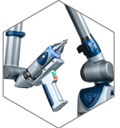
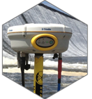
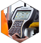
At Wadelynn Geospatial we have over 20 years of experience dealing with the most current surveying, scanning, and GIS technologies. We are a professionally licensed firm specializing in 3D Laser Scanning technologies and their associated modeling solutions. Technology has advanced quickly over the last few years and it continues to do so. Today’s equipment is smaller, faster, more accurate, and more cost effective than it was 5 years ago. We stay ahead of the curve and provide our clients with the latest software, equipment, and techniques available. This allows engineers, facility mangers, and project managers more efficient data acquisition for better data analysis so they can make more informed decisions.
Perhaps you’ve dealt with some of these technologies in the past, read about them in engineering magazines, or you are completely new to the idea. Whatever your situation, take some time and look through the information on this site. Our goal with this site is to introduce ourselves, give you a basic overview of our services, and outline some of our recent projects. Our clients are excited about the deliverables they are getting and we are constantly finding new uses for these technologies. Our goal is to help you solve the real world puzzles you face everyday.
Take the next step.
It’s an ever evolving world for engineers and project managers, new technology is constantly changing the way we approach our problems. At Wadelynn Geospatial it is our mission to stay ahead of the curve and provide you with the services, guidance, and new directions that these new technologies bring with them. We’re here to help you solve your puzzles.